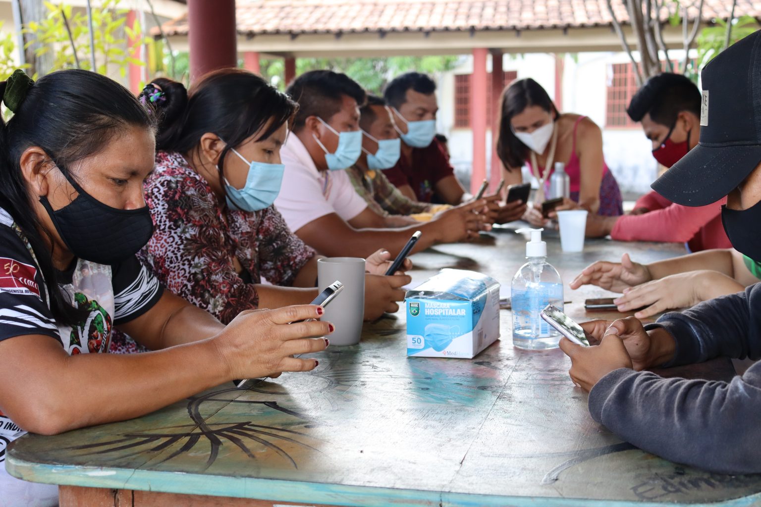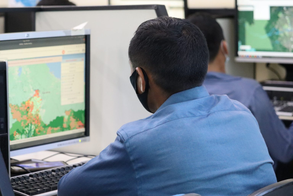
Courses taught by IPAM and the Bem Viver Project (CIR/IEB/NCI) took place at the Insikiran Institute/UFRR, in Boa Vista. New tools aim to help indigenous people improve territorial management, in addition to monitoring the advance of illegal fires, invasions, deforestation and mining.
Indigenous leaders and employees of the Environmental Department of the Indigenous Council of Roraima (CIR) participated this week in two training sessions for the use of environmental and territorial monitoring analysis tools for Indigenous Lands using satellite data. The courses, carried out in partnership by the Bem Viver project and the Amazon Environmental Research Institute (IPAM), trained 17 Macuxi and Wapichana indigenous people to use the Indigenous Amazon Observation System (Somai) and Indigenous Climate Alert (ACI) in the management of Indigenous Lands (TIs).
The classes took place from December 6 to 8 at the Insikiran Institute of the Federal University of Roraima (UFRR), in Boa Vista. Ten indigenous leaders, including women and young people, from six Indigenous Lands, from the regions of Raposa, Baixo Cotingo, Surumu, Serra da Lua, Tabaio, Murupu, São Marcos, and Alto Cauamé, as well as seven members of the CIR's Environmental Department, participated. The courses were divided into modules that ranged from understanding the SOMAI and ACI platforms, to the presentation and collection of databases, and the practice of map making. Participants learned how to use the platforms on computers and smartphones.
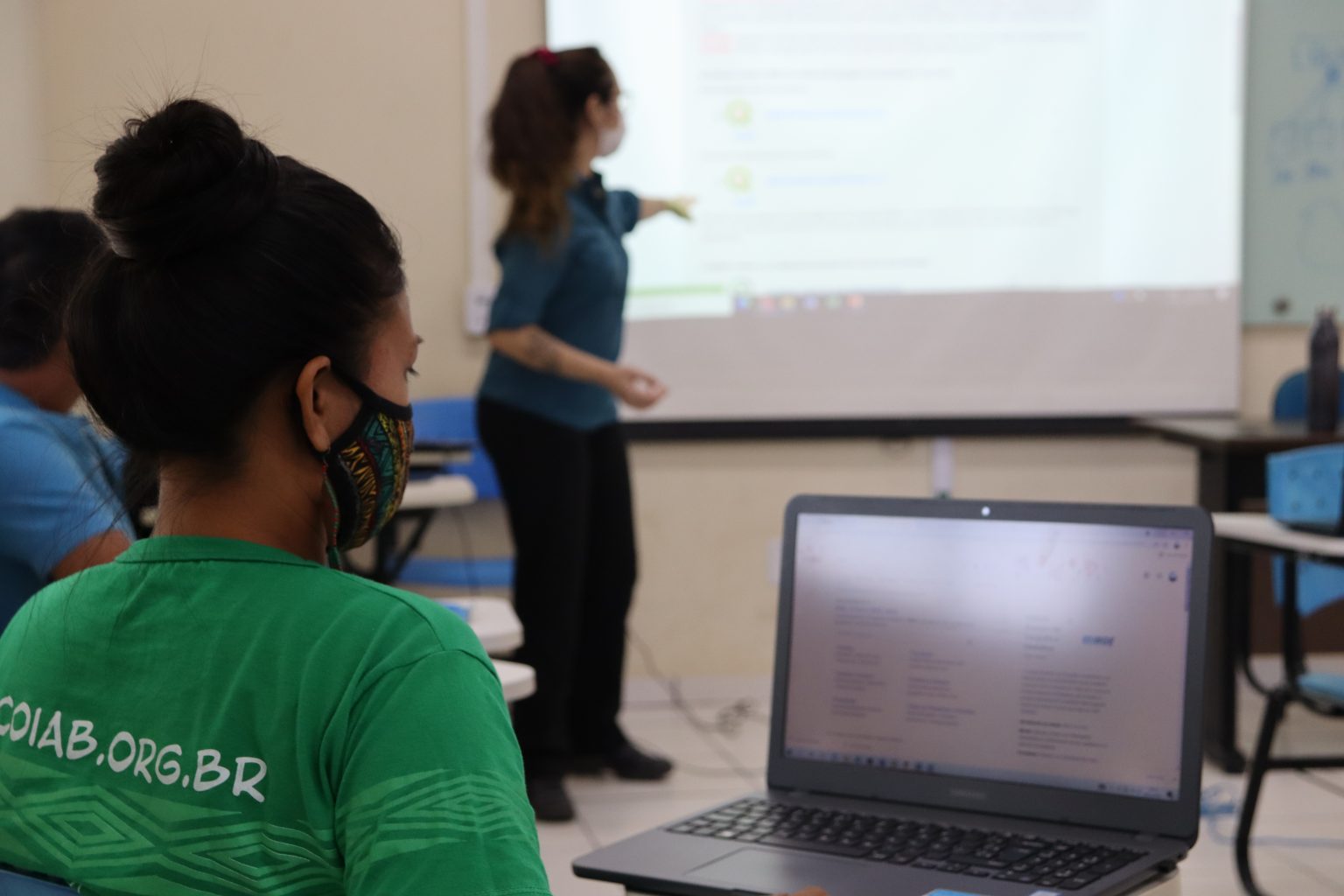
Ipam researcher Martha Fellows stressed that the courses aimed to facilitate access to new technologies to support the autonomy of indigenous people in the management of territories, in addition to helping to combat illegal activities that threaten Indigenous Lands. "Indigenous people already do monitoring and surveillance work, and the training strengthens both the work of the CIR, as well as those who are there in the communities, experiencing the situations in the field, whether in the part of territory management, if, for example, the community has opened a new garden, if a community is larger, as well as illegal activities, such as fires, invasions, deforestation and mining".
In March, another course also organized by the Bem Viver project and Ipam,trained indigenous people to fly dronesin the Legal Amazon and in the Pantanal, aiming to strengthen the monitoring and territorial management of the Kadiwéu peoples, from Mato Grosso do Sul, and the Macuxi, Wapichana, Taurepang and Patamona, from Roraima.
"Through the tools we know here, we can map traditional places, where the communities are already located, in addition to making maps of climate, vegetation," said Marciana Melchior da Silva, from the Maturuca community, Raposa Serra do Sol Indigenous Land, who participated in the course on the Indigenous Climate Alert (ACI) application. The application was developed by IPAM with support from the Norwegian government, to record data on hot spots and the risk of fire, in addition to allowing the monitoring of the advance of deforestation in and around each indigenous land.
Sineia do Vale, coordinator of the Environmental Department of the CIR, highlighted that the courses help communities to learn about new tools to monitor and deal with the effects of climate change. "From these trainings, the communities will be able to do together with us the work of mapping, territorial monitoring, in addition to monitoring floods, droughts and fires," she said.
"Having a way for us to map the communities, where mining, deforestation, fire outbreaks are happening is very important. The course was fruitful and we will share this knowledge," said Janderson Henrique, from the Macuxi people of the Raposa Region, from the Raposa Serra do Sol Indigenous Land, who participated in the SOMAI training.
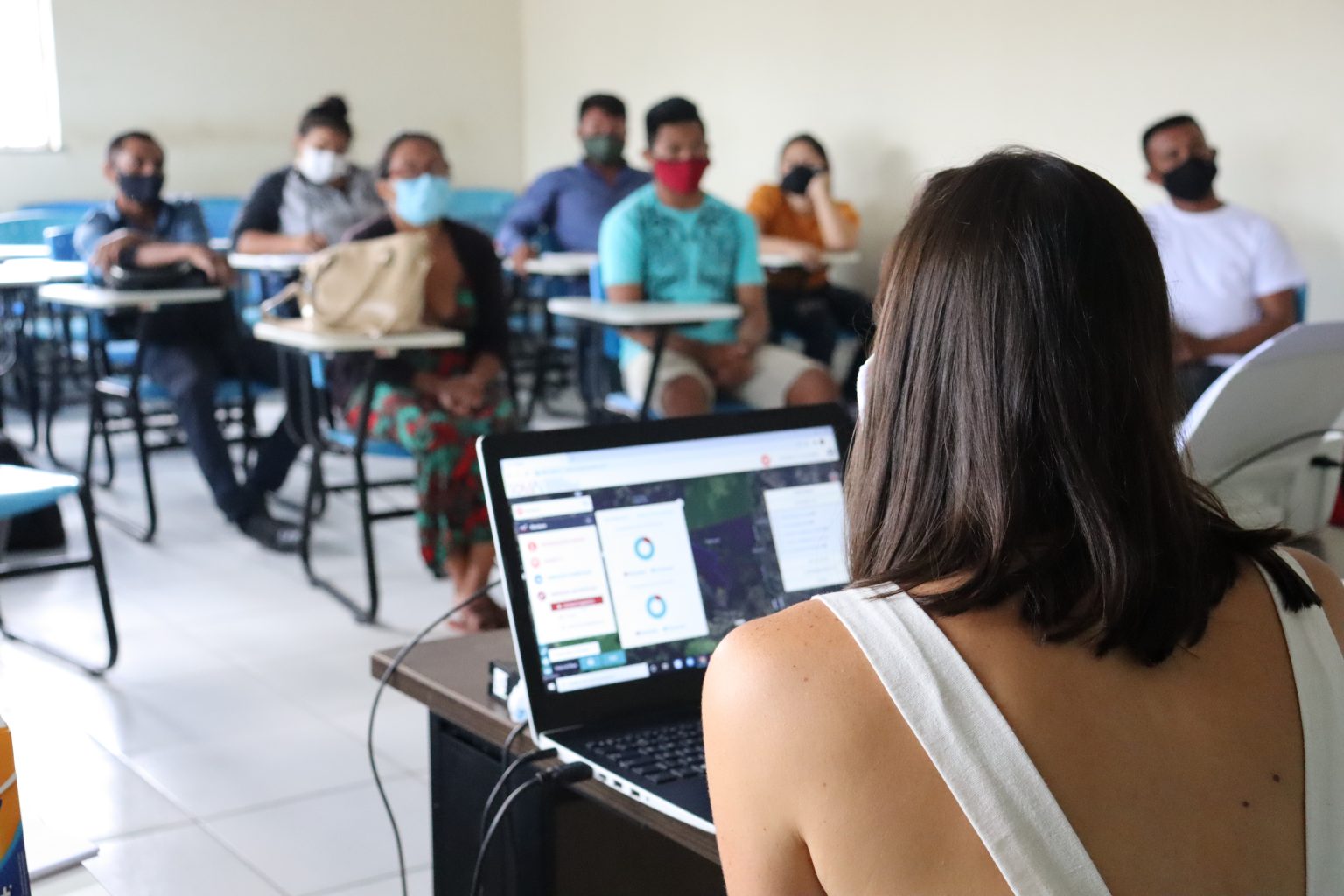
Reinaldo Lourival, coordinator of NCI Brazil, stressed the importance of "uniting traditional indigenous knowledge with the use of new technologies to improve the management of Indigenous Lands". In Roraima, there are 32 demarcated and approved Indigenous Lands, including Raposa Serra do Sol, with 1.7 million, and the Yanomami Indigenous Land, the largest in the country with 9.7 million hectares. Both are affected by the advance of illegal mining, which has grown almost 500% in Indigenous Lands in the Amazon in the last decade, according to a study by MapBiomas.
The Bem Viver project, which held the courses in partnership with Ipam, aims to improve territorial governance and environmental management of indigenous lands in Roraima. The project is formed by CIR, the Institute of Education of Brazil (IEB), Nature and Culture International (NCI), and funded by the United States Agency for International Development (USAID). The Bem Viver activities are also supported by the Behner Stiefel Center for Brazilian Studies, San Diego State University and The Stiefel Behner Charitable Fund.