
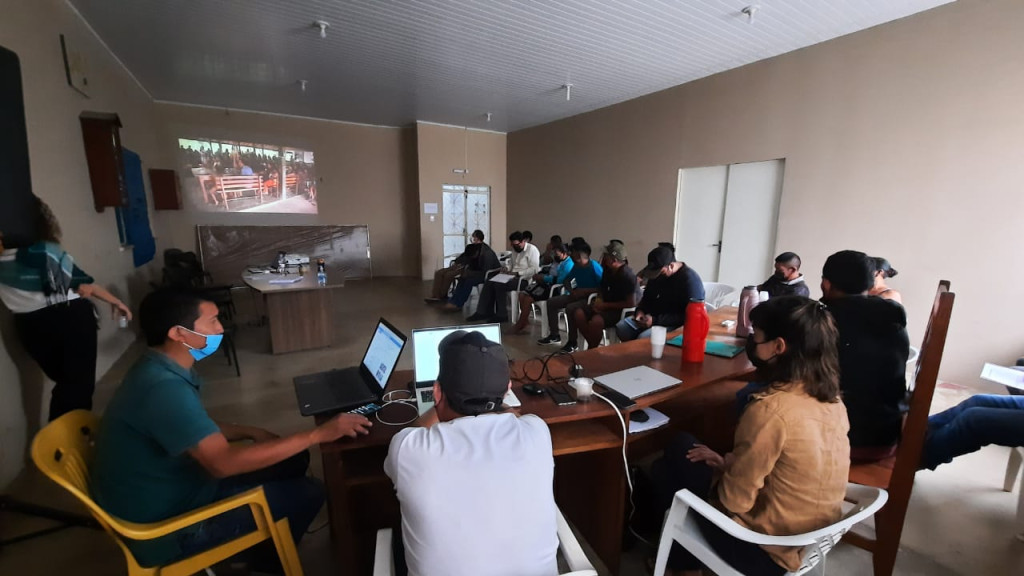
Leadership Commission of the Raposa Serra do Sol Indigenous Land, formed by representatives of the Surumu, Baixo Cotingo, Raposa and Serras regions, were during July 19 to 21, at the headquarters of the Indigenous Council of Roraima (CIR) carrying out the review of the Consultation Protocol of the Indigenous Peoples of the Raposa Serra do Sol Indigenous Land.
The preparation of the document has been built since 2017, through workshops and assemblies. And for final adjustments, a commission was formed to choose photos, construction of maps and history of Raposa Serra do Sol. The entire process of construction and discussion has been monitored by the CIR's legal advisory.
CIMI's legal advisor, Chantelle Teixeira, who contributed to the elaboration, said that the protocol is another strengthening of territorial autonomy. "Indigenous peoples as a way of presenting their social organization to the State, their way of making decisions. Undoubtedly, the consultation protocol of the Raposa Serra do Sol Indigenous Land is another instrument for strengthening territorial autonomy," she says.
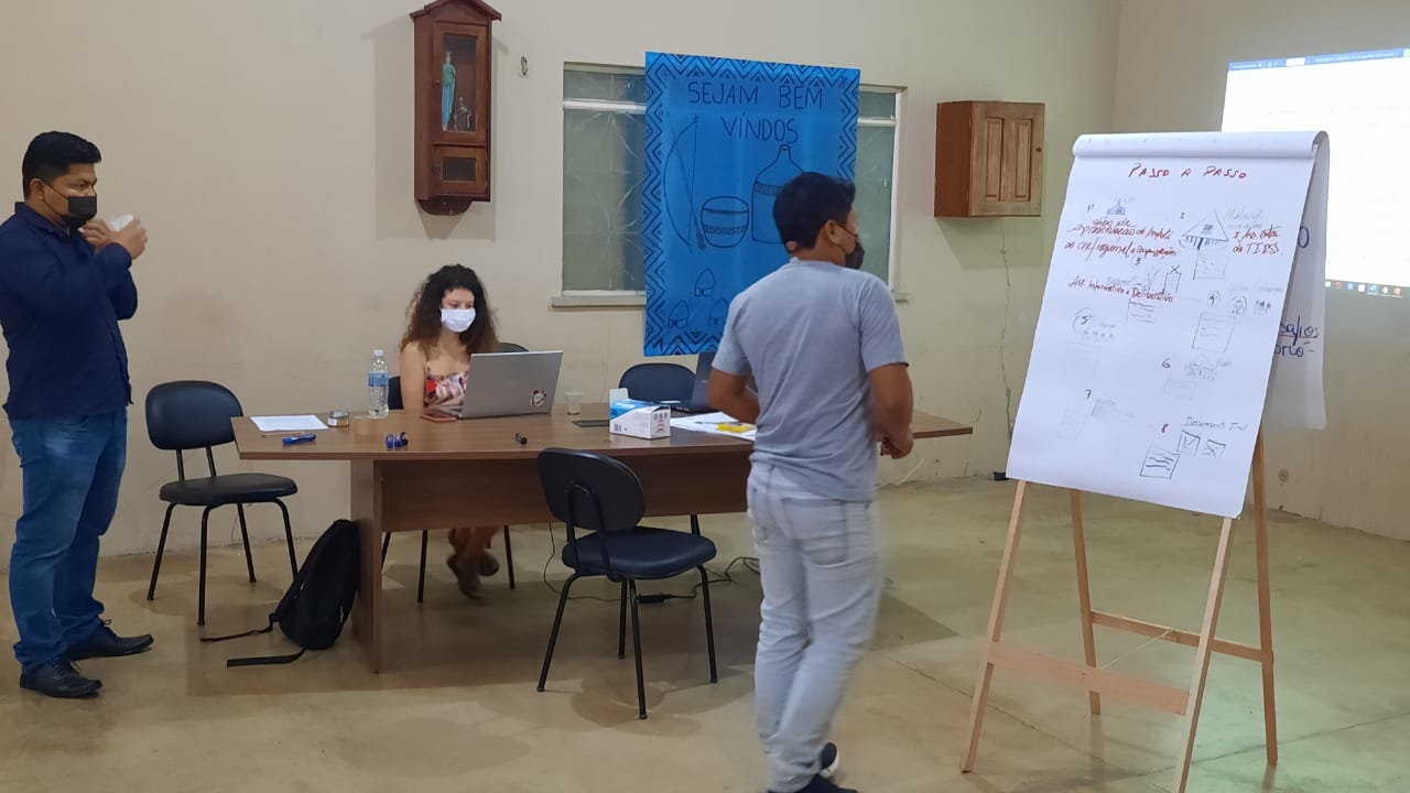
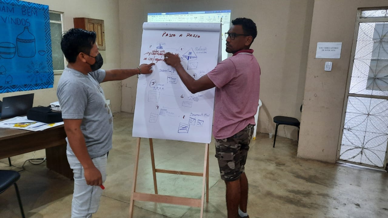
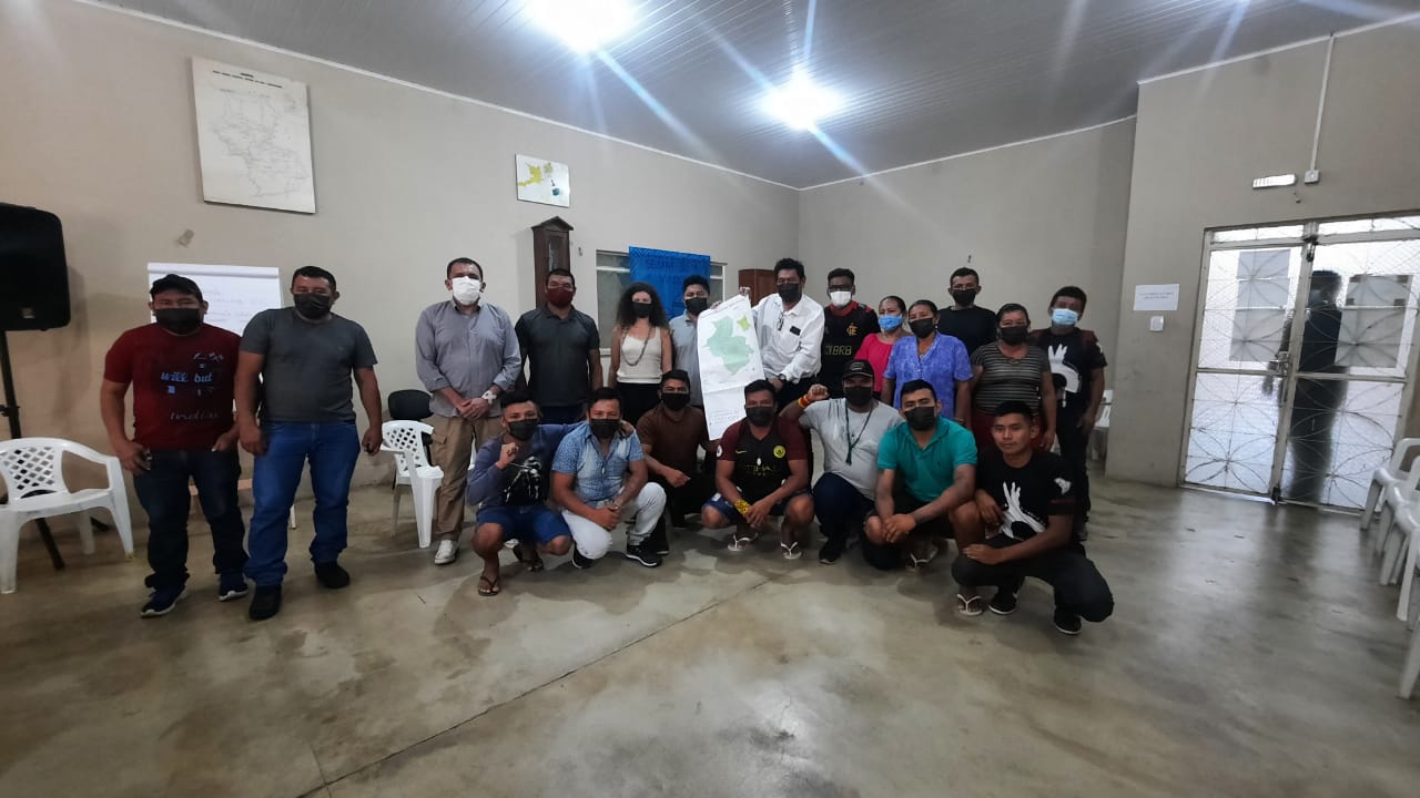
Leaders of the Raposa Serra do Sol indigenous land in the revision of the Consultation Protocol Lindalva Macuxi Auditorium
"It is our job, according to the decision in several other meetings about the protocol, to help organize our consultation protocol that will serve us and future generations. It is a way to organize ourselves, to defend that there is in our land, the preservation of the environment, the streams among others, so that they are not affected by large entrepreneurs, this is a way to safeguard ourselves and protect our land", said the leader Ronaldo André Macuxi, who is part of the commission.
The next step will be the approval of the protocol in September during the General Assembly of the Indigenous Peoples of the Raposa Serra do Sol Indigenous Land.
Raposa Serra do Sol:
The Raposa Serra do Sol Indigenous Land, located in the State of Roraima, with an extension of 1,747,464 hectares, is the original land of the Macuxi, Wapichana, Taurepang, Ingarikó, Patamona, Sapará indigenous peoples. It has a population of 28,025 people (SIASI/DSEI LESTE-RR/SESAI/MS, JUNE 30, 2021), organized into 225 communities, and is subdivided into the Surumu, Serras, Baixo Cotingo and Raposa ethnoregions.
The area comprises the entire course of the Maú or Ireng River to the east, delimiting the border between Brazil and Guyana; to the south, it is limited by the middle course of the Tacutu River, at the confluence with the Surumu and Maú rivers; to the west, it borders the São Marcos Indigenous Land, with the Surumu and Miang Rivers as its limits, to the north, it borders Venezuela.
The process of demarcation of the indigenous land began in the 1970s and was consolidated in Ordinance No. 534, of April 13, 2005, of the Ministry of Justice and ratified through Presidential Decree No. 10,495, of April 15, 2005. After long legal disputes, the demarcation was confirmed by the Federal Supreme Court on March 19, 2009.