
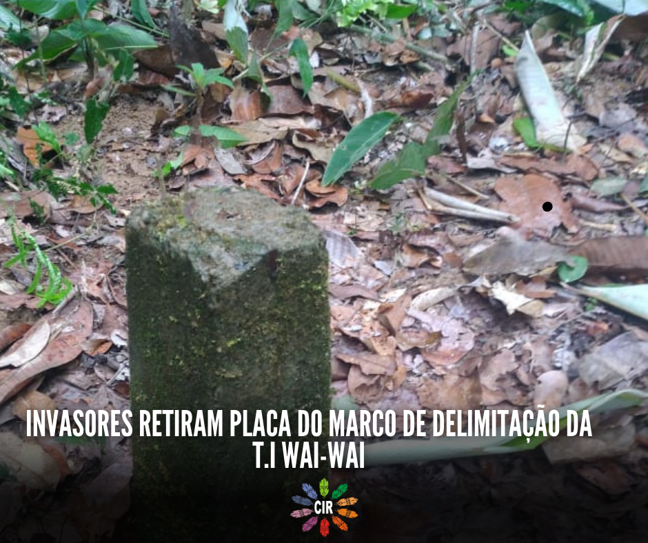
The Indigenous Territorial Protection and Surveillance Group (GPVTI) of the Wai-Wai Indigenous Land, in an action carried out on the 12th, identified yet another invasion of the territory. This time, they found that the boundary marker of the Wai Wai Indigenous Land had been removed, as reported by indigenous leaders to the Indigenous Council of Roraima (CIR). According to the leaders, another marker was found about 50 meters from where the sign delimiting the Indigenous Land was removed; this marker does not belong to the region and is suspected to belong to the invader.
Furthermore, they also pointed out that there are areas of deforestation near the site. Urgent action is needed to monitor and protect the Wai Wai territory, in order to prevent uncontrolled invasion and irreversible impacts on indigenous communities.
Indigenous leaders are requesting a new sign for the boundary marker from the National Foundation for Indigenous Peoples (Funai) and other agencies. The complaint is already being forwarded to other federal public bodies, such as the Federal Public Prosecutor's Office (MPF) and the Federal Police.
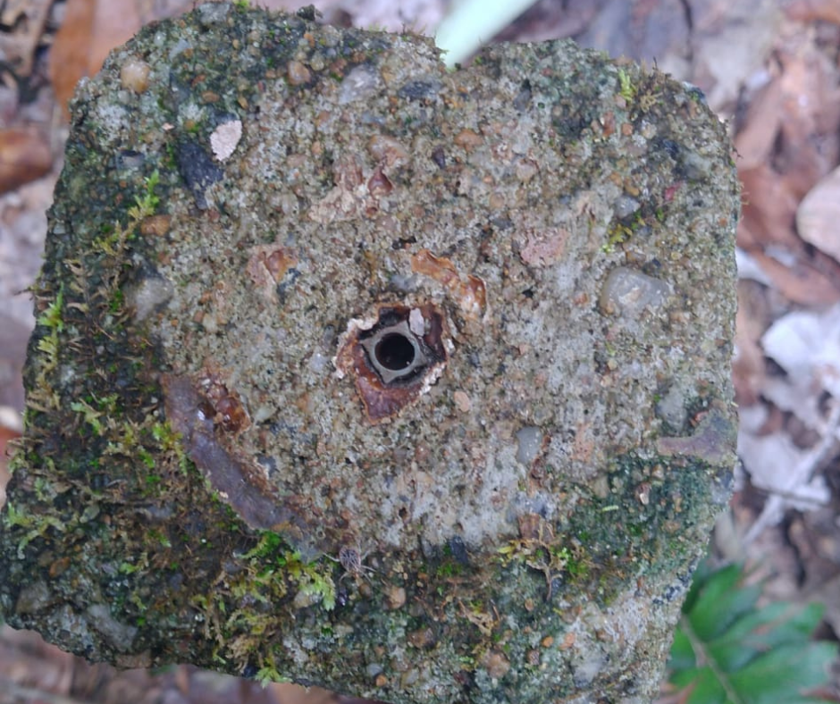
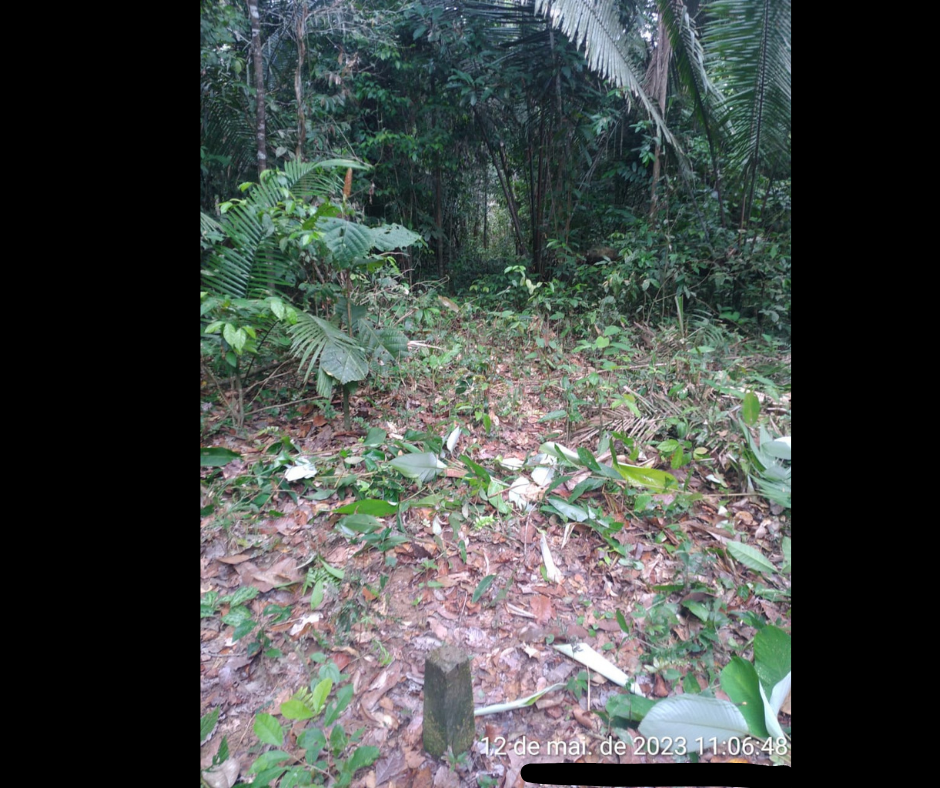
Location of the marker where the sign that delimits the Indigenous Territory was removed / deforested area
In recent months, the territory of the Wai Wai people has been...suffering from an intense invasion by land grabbers and illegal miners.In the GPVTI operations, camps, landing areas, and locations with "property identification" belonging to the invaders have already been destroyed, as is already common practice in the Yanomami Indigenous Territory.
The Wai-Wai Indigenous Territory was demarcated and officially recognized in 2003, covering a territorial area of over 406,000 hectares and encompassing the municipalities of Caroebe, Caracaraí, and São João da Baliza in the south of the state.
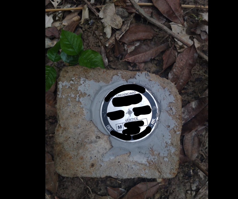
Landmark with sign warning of possible intruder.
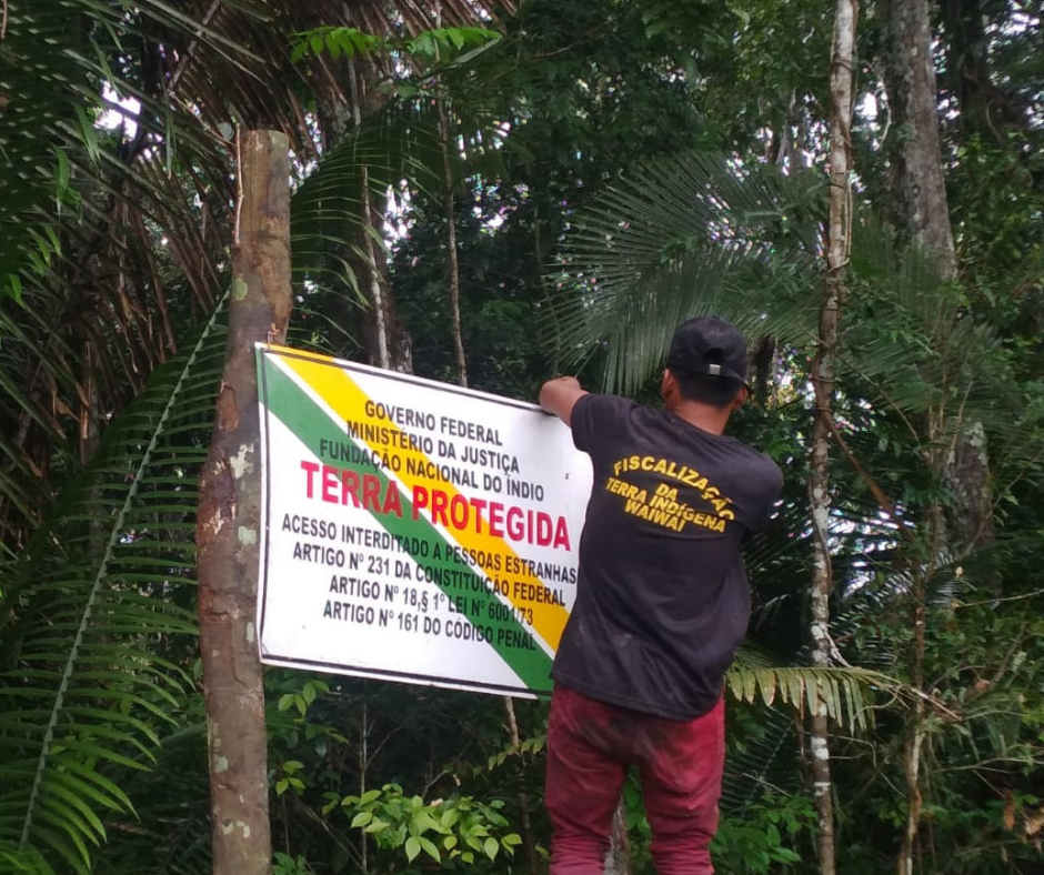
Leaders reaffirm their territoriality.
Source: Wakywai/Wai wai Indigenous Communicators Network