
For over 10 years, the Environmental and Territorial Department of the Indigenous Council of Roraima (CIR) has been assisting indigenous peoples in developing life plans and transforming future perspectives into realities. This process has been carried out through the development of the Territorial and Environmental Management Plan (PGTA), which was previously developed by poles or communities and is now developed at the regional/territorial level.
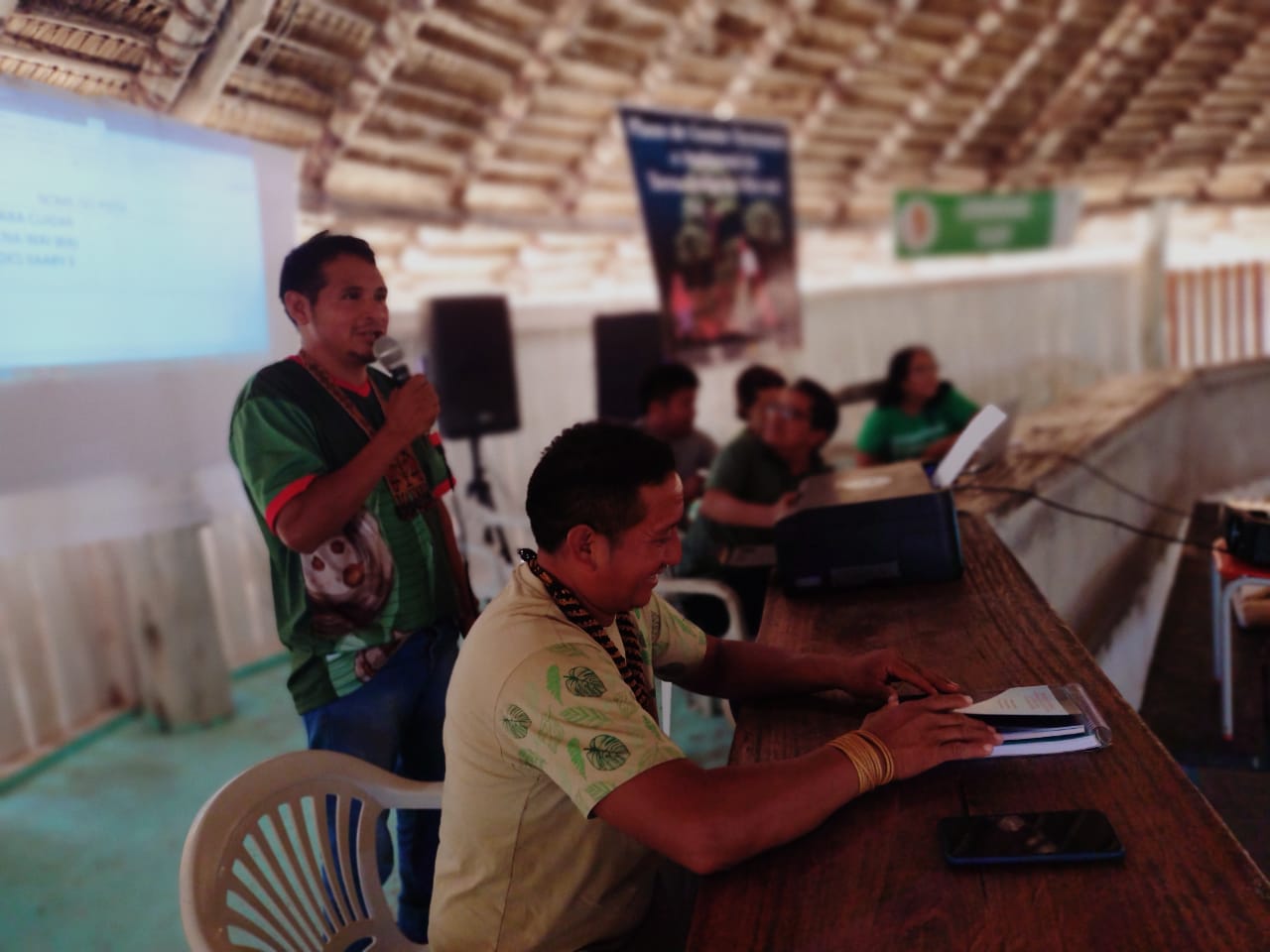
Activity carried out in the Wai-Wai Indigenous Territory (Photo: Bruno Wai-Wai - Wakywai Network)
After activities carried out in the Raposa Serra do Sol, São Marcos, Wai-Wai and other indigenous lands, the department will attend to the last regions to complete coverage of all indigenous lands in Roraima. This time, with the support of Nia Tero, the Amajari and Tabaio regions, and the Truaru and Sucuba indigenous lands will be served in a regional activity to be held in the Araçá indigenous community, in the Amajari region, from May 2nd to 11th. Approximately 200 participants are expected.
The methodology used in constructing the life plans is one developed by the department coordinator, Sineia Bezerra do Vale, who has used it throughout the plans' development to involve community members, women, youth, and men. The process involves collective discussions on how to build the plan, the use and management of natural resources in the lifestyles of indigenous peoples, and caring for the territory from both an internal and external perspective, focusing on rights, as well as agreeing on the actions proposed in the Territorial and Environmental Management Plans (PGTAs) with partner and governmental organizations.
The department coordinator emphasizes that the plan serves as a tool for dialogue. “A territorial management plan for an indigenous land is like a tool for dialogue. It is very important so that communities can continue managing their territory, both within and outside of indigenous lands,” Sineia points out regarding the development of the PGTA, a plan that is traditional to the communities, that is, it is already part of their daily lives, and is simply being consolidated as a document.
Brief history
It is important to highlight that the process of consolidating the life plans of the indigenous peoples of Roraima began with a meeting held at the Maturuca Center, in the Serra region, within the Raposa Serra do Sol Indigenous Territory, in 2011, with the presence of more than 400 indigenous leaders, where they discussed cattle production, agriculture, and other potential resources in the territories. It was then that the initiative to construct the Territorial and Environmental Management Plans (PGTA) for the indigenous lands emerged.
Proposed by the coordinator of the Environmental and Territorial Department of CIR, Sineia do Vale, the indigenous leaders accepted and approved the proposal to develop the plans. With the support of Funai, TNC and other partners, the first Territorial and Environmental Management Plans (PGTAs) developed were: Centro Maturuca (Serras) and the Jacamim Indigenous Land (Serra da Lua).
With support from institutions such as the Insikiran Institute of the Federal University of Roraima (UFRR), as well as the Maturuca and Jacamim Center, the Indigenous Territories Aningal (Amajari), Serra da Moça (Murupu), Boqueirão and Mangueira (Tabaio) and the Santa Cruz Indigenous Center (Raposa) also developed their Territorial and Environmental Management Plans (PGTAs).
In recent years, CIR, with the support of partners such as Nature and Culture International (NCI), the International Institute of Education of Brazil (IEB), UNICEF, Nia Tero, and others, has reached territories such as Raposa Serra do Sol and Wai-Wai (2020). These are about to conclude and launch the work.
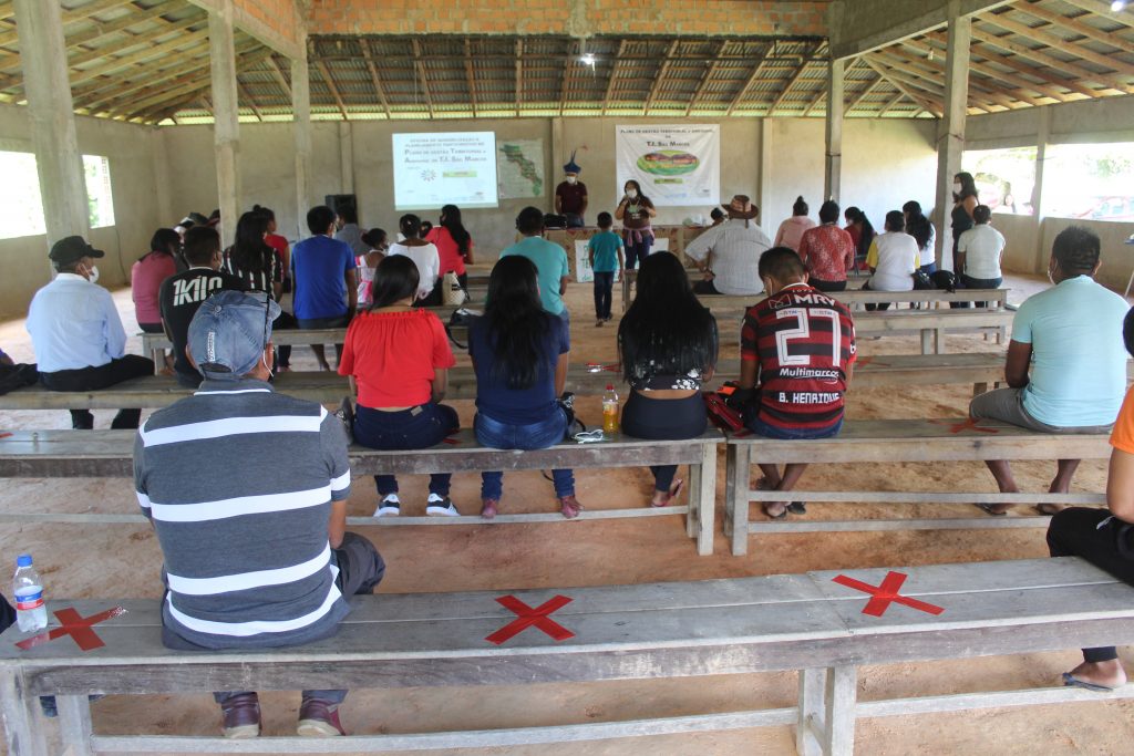
TI São Marcos begins preparation of the PGTA (Photo: Ascom/CIR)
They also initiated the PGTA (Territorial and Environmental Management Plan) for the São Marcos indigenous land, a territory of 654,000 hectares, officially recognized in 1991, located on the border between Brazil and Venezuela. It has a population of over 8,000 indigenous people from the Macuxi, Wapichana, and Taurepang peoples, living in 64 communities.
After their creation, the plans become a publication and are used as a community document to support social organization and the implementation of public policies according to the demands of indigenous communities.